
Conservation
News
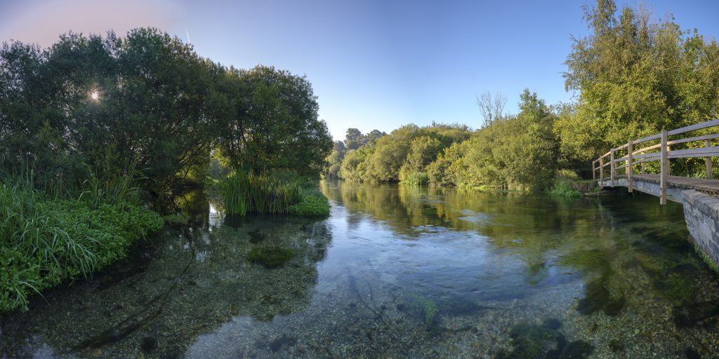
How healthy is your river?
New map shows sources of pollution along thousands of UK rivers
Would you like to appear on our site? We offer sponsored articles and advertising to put you in front of our readers. Find out more.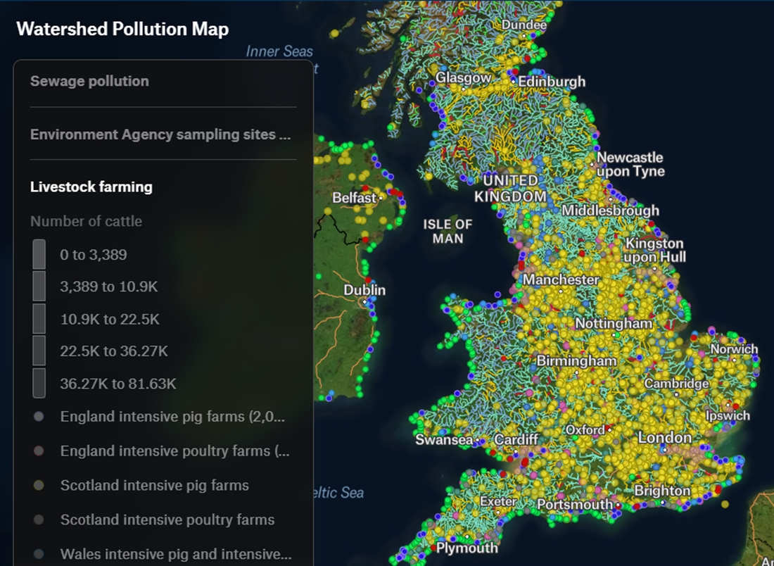
The extraordinary number of pollution threats faced by individual water courses in the UK can now be identified on an online map published by the not-for-profit journalism team at Watershed Investigations.
The multi-layered map contains more than 120 datasets, sourced from freedom of information requests and environmental information regulations. Direct the cursor to the river or lake that interests you and the map will reveal information about water health status, historic landfill sites, sewage dumping, heavy industry, forever chemicals, National Highways outfalls, the intensity of cattle, pig and chicken farming, hydro schemes, the level of economic deprivation, flood risk, nuclear facilities and the political party of the local MP.
Watershed Investigations are supported by, among others, Wildfish and The Wildlife Trusts. Angler and clean-water campaigner Feargal Sharkey sits on its advisory board.
Related articles
News
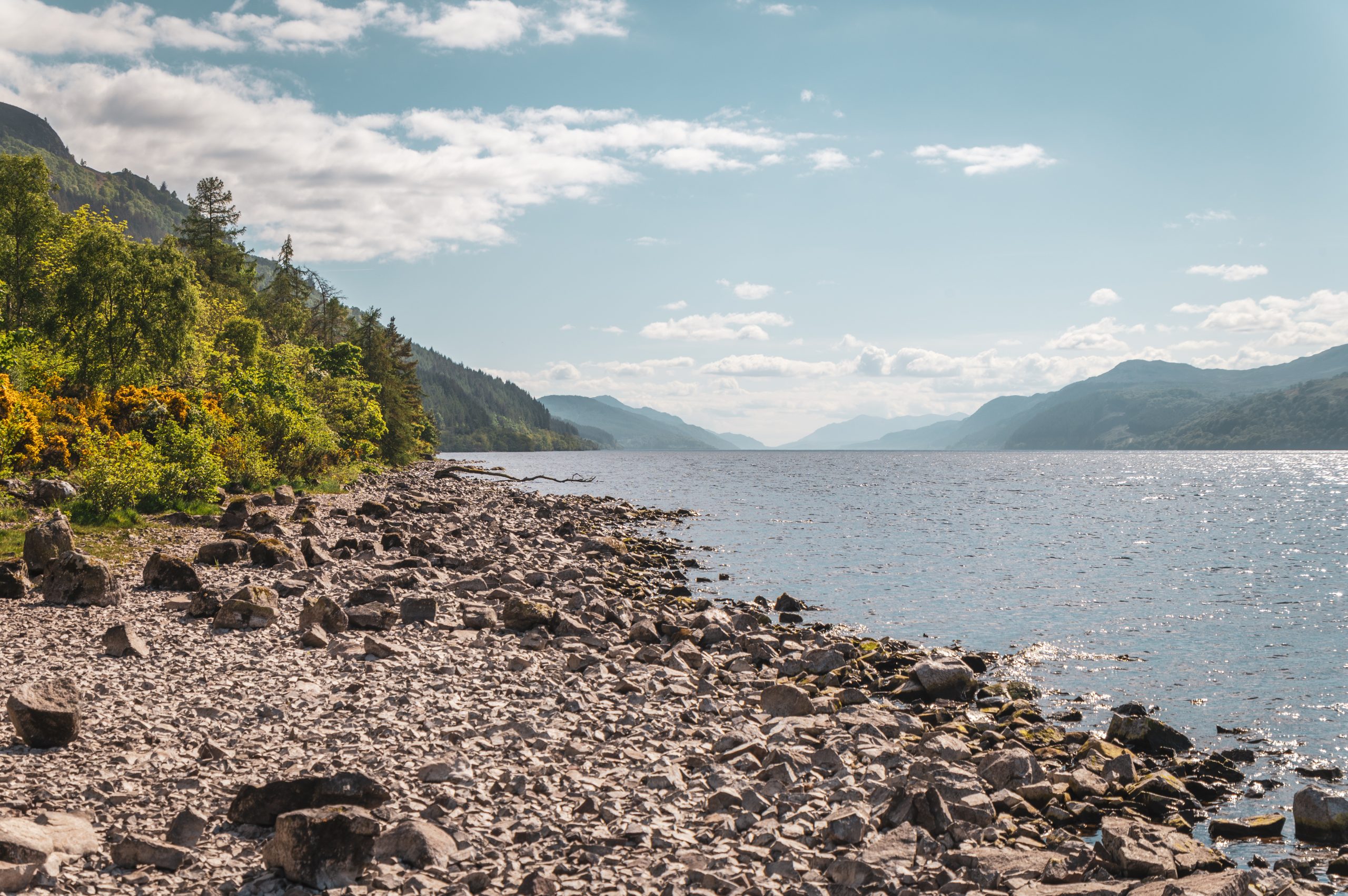
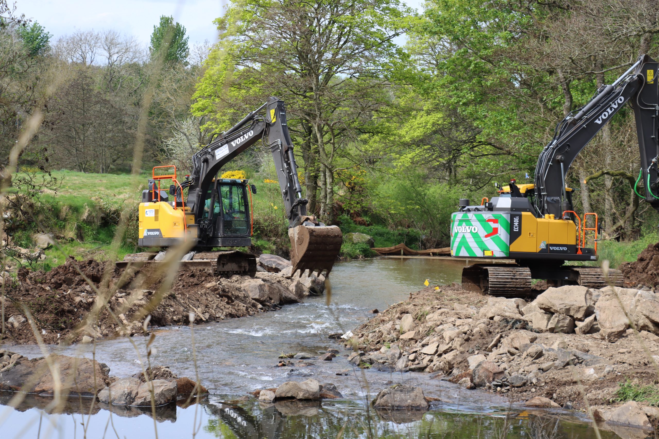
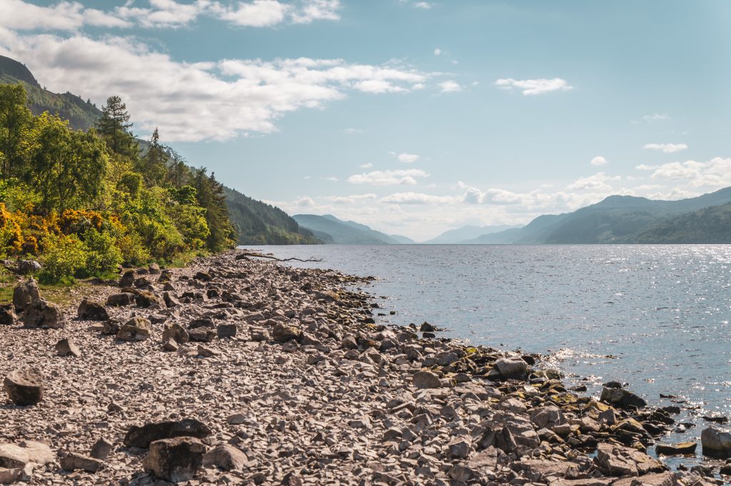
Ness hydro scheme runs dry
Highland Council has rejected a controversial pump storage hydro scheme that conservationists warned could devastate migrating salmon
By Time Well Spent
News
Can science save the River Itchen?
The Environment Agency has launched a critical study into the state of salmon on the River Itchen, aiming to improve fish passage